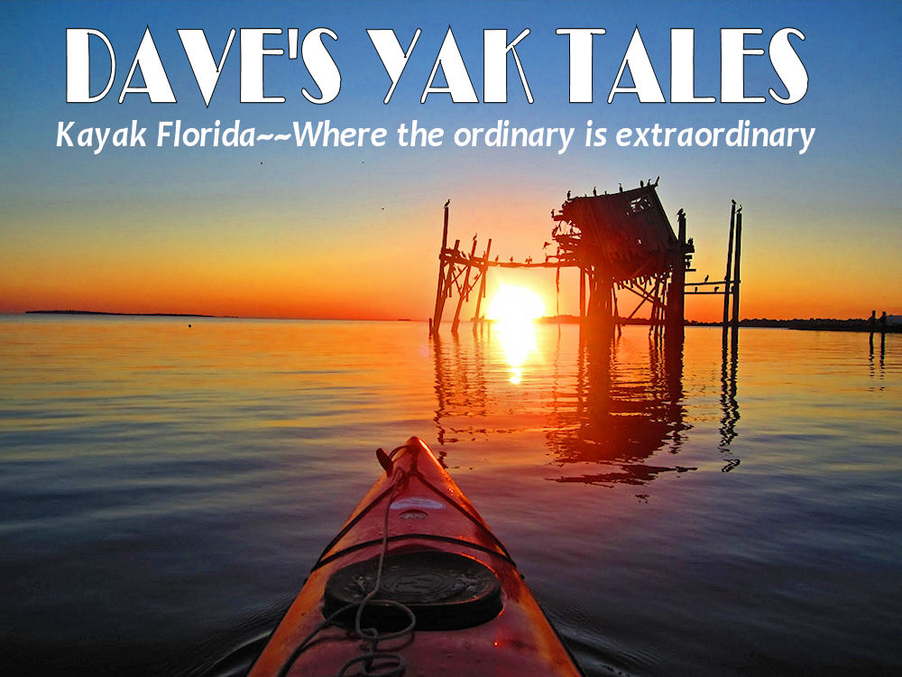
Back from an overnight camping trip to Little Talbot Island State Park. A nice place, if you live in Jacksonville. I do not think it is worth the 156 mile drive from Winter Park. Not that it is not a nice place, there are just better ones closer to home Better as far as the amount of wildlife to be seen, at least for me. To mark it worth while, spend the night. Visit 2, 3 or more of the Parks that make up Talbot Islands State Park. I visited 4, plus Fort Clinch.
Crossing the St Johns River. For the second time. Not enough light when I crossed it in Sanford. And, that bridge is not picture worthy.
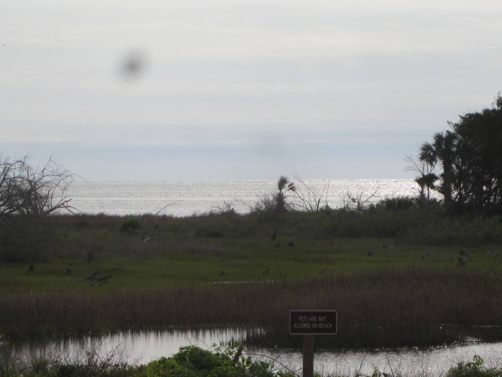
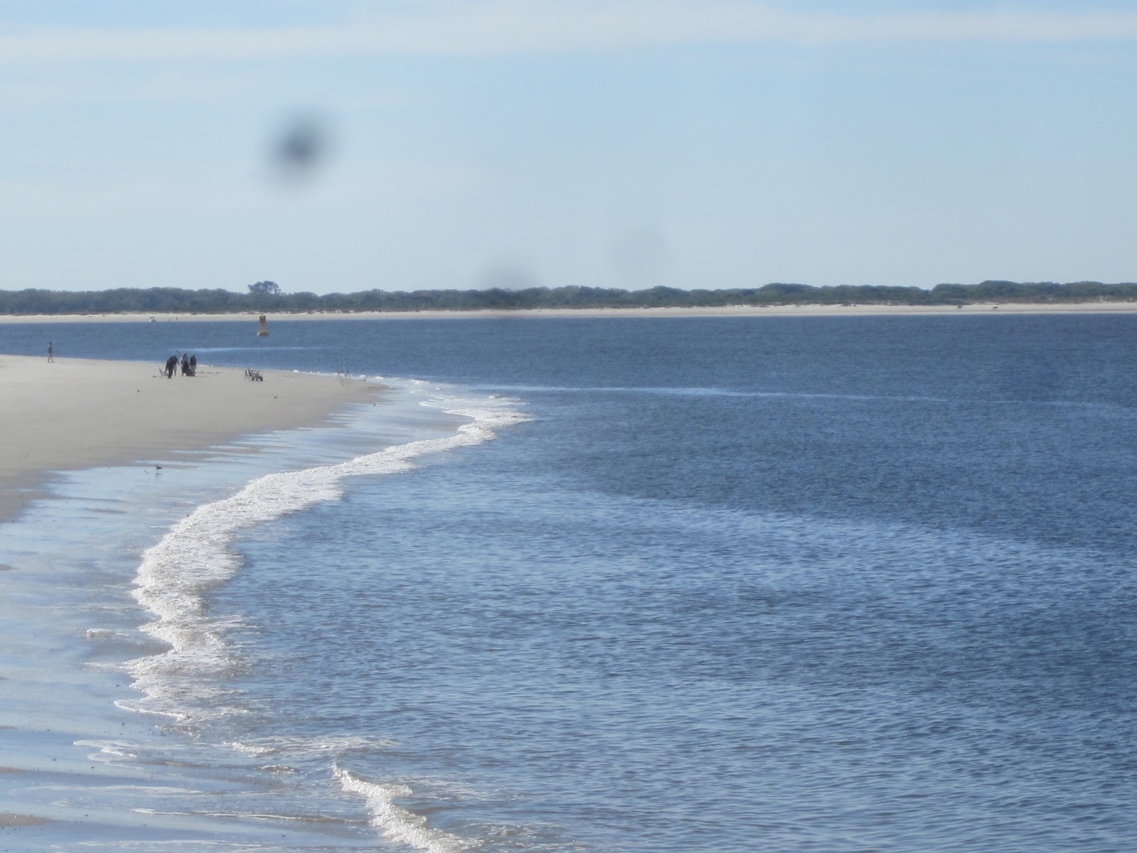
Little Talbot Island is one of many parks, State, Federal, and County, north and east of Jacksonville. I must have arrive right at 8 am, as the first picture in the Park was taken at 8:08
A cardinal on the dunes
Little Talbot is like Gamble Rogers State Park in that the campground is across A1A from the day use area. Only opposite. GR has campsites on the Atlantic. Little Talbot’s campground is in a wooded area along a tidal creek. Myrtle Creek.
When I came in, I asked the ranger at the entrance if there were any cancellations. To get a better site. No. Also no to signing in early. To save time later on.
After my look at the beach it was time to find a place to launch the kayak. First stop was Big Talbot Island State Park. North of Little Talbot. Not to launch, but to check out a spot called The Bluffs.
I was expecting more. But, I grew up in Shorewood, Wisconsin. Half a block from high bluffs overlooking Lake Michigan.
It is a nice picnic area.
On to a launch site
25 26 27 28
On the north end of Big Talbot. I did not launch. Too windy, and a concrete ramp. And I had passed a better option. But first, I checked out the George Crady Bridge Fishing Pier State Park.
The old A1A across the Nassau River
The launch site I had passed is operated by Kayak Amelia. Under the name, Long Island Outfitters on this
map from the Florida Park Service. Although it is on State Park property, it does not open until 9. And closes at 5. For you non-Floridians, State Parks open at 8 am and close at sunset. Short hours, and they make you pay a dollar on top of the Park entrance fee. Or, just a dollar if you did not visit the day use area of Little Talbot State Park. And, a sign says all paddlers must check in. You need to provide your car and boat info. The phone number you have “on the water” Who has that? I gave my home phone. An emergency contact. I wrote one of my sister’s name and made up a number. And the direction you plan to paddle and length of your trip. How should I know, I’ve never been here. I wrote north and I would return between 12 and 2
9:35, finally in the water. Simpson Creek
35
Shell mound?
I did paddle north, into the wind. The person behind the counter at the launch site said the tide would be coming “both directions” It is an island, after all. I was past the bridge that links Little Talbot to Big Talbot and noticed water. In the kayak. More than from paddle drip. I turned around. Thought I could get out at the bridge. I did not try. Deep and steep. So, back to the launch to apply more duct tape.
A pelican joined the other
Back on Simpson Creek, I paddled south, now. The kayak continued to leak. I found the only spot to land. Sometimes it is better to remove the old duct tape and put on a new, fresh layer.
I’m thinking this is an Indian mound. It is also good to stop as three dolphins are passing by.
One thing that disappointed me about the paddle was the few birds I saw. A couple great blue herons and great egrets. A cormorant or two. Helicopters
Simpson Creek empties into the Fort George River
47 48 49 50
A long beach seems to be a popular place to stop
I did, and had lunch. The duct tape was working
Back on the water at 12:05, headed back
Like I said, a popular spot.
I wondered about accessing this spot from land. Never got to it.
I entered Myrtle Creek
The Creek twists and turns. An unseen voice, "Look at that cloud rainbow" I turned my head.
Landed at the campsite launch.
Kid just caught a blue crab. I checked out site 29. Where I would be
I had visible neighbors on both sides. Other sites have no, or just one, visible neighbors
Wooded and rolling terrain. Ancient sand dunes.
Back on the water. I read that parts of Myrtle Creek are only accessible at high tide. Which was at 11:04. It was now 1:20
There may have been hundreds of birds hiding in the spartina and other grasses
Floating dock to use at low tide.
I did not have to use it. I did use a hose to wash off my kayak. Had a lot of sand on it from my lunch stop. You sink into the sand pretty far inland.
My bumper sticker would read; "I will chop off your left hand, as you have no need for it"
I left, and drove north on A1A. To Amelia Island and Fort Clinch State Park
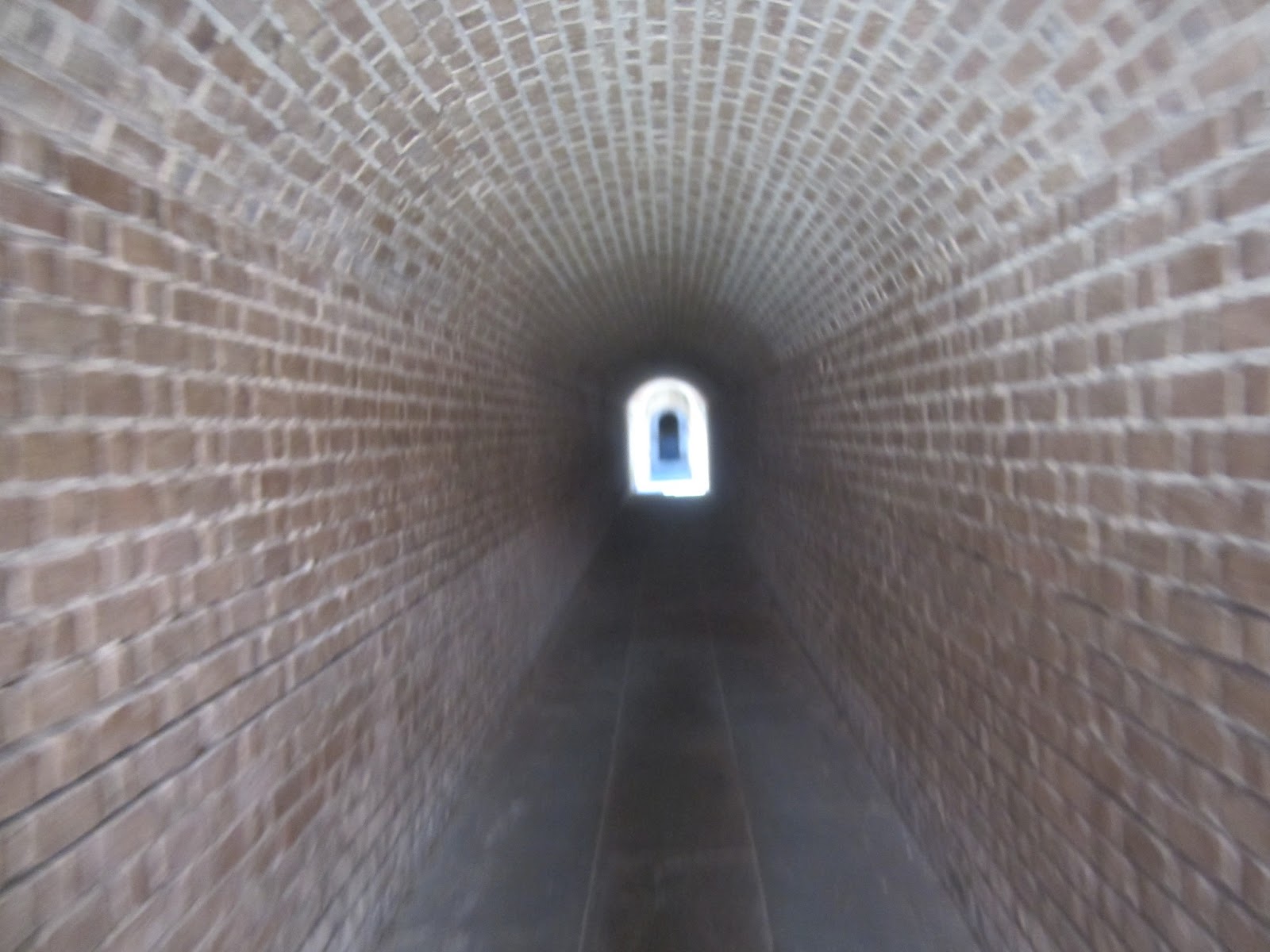
The Park Drive is a scenic 3 miles. Entrance to the Fort is an additional $2. Worth it.
You may be thinking, "I've seen this before". You have seen a similar fort on Dave's Yak Tales. Fort Zachary Taylor in Key West.
Fort Taylor is as far south in Florida as you can go, by road. Fort Jefferson, in the Dry Tortugas, requires a boat or plane to reach. Fort Clinch is as far north as you can go. Cumberland Island, Georgia, is across the St. Marys River.
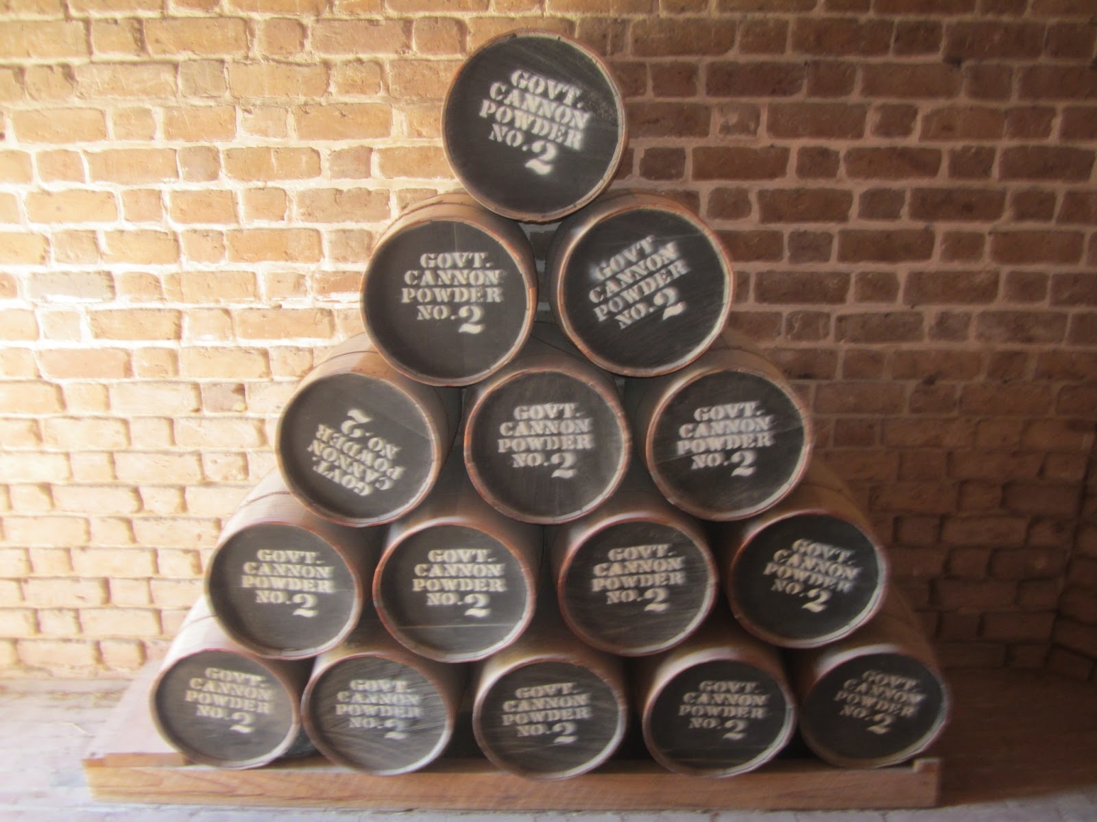
I like to think I am Cannon Power 1
Reenactors along with civilians. Like Fort Taylor, the good guys held on to Fort Clinch during the Civil War.
An informative museum.
Road from the Fort to the town it protected, Fernandina Beach. Important as a deep water port and one end of the railroad across Florida to Cedar Key
Of course I thought about kayaking to Georgia. Currents are swift. I did see kayaks in the water. I think if you could paddle across mid way between tides, and back midway between tides, that would require the least effort. And most safety,
This sign is at nearly every State Park nature trail
Cardinal crossing
I did not wait for a gator
I took the longer loop
 |
Railroad map
|

Ruins of an oil house. To light a "range beacon" Described below
Pier
Green turtle. On the walk back, I heard they tossed it back. I know it is a green turtle as there is a display showing the various types of turtles in the area. With pictures.
The pier is half a mile long
Hoped to see an indigo bunting. This could be female indigo bunting
Lots to do at Fort Clinch. There is a 6 mile biking/hiking trail.
Nice view of the Amelia Island Lighthouse from a platform on Egan Creek
I made a slight detour on the way back to Little Talbot.
Unable to find a parking space in Fernandina Beach, at least in the harbor, downtown area, so I just took a a few pics from the car. Wanted to get to my campsite while the sun was up.
I checked in, again asking if anyone canceled. No. Had my tent up at 7
Sunset over Myrtle Creek, 7:35 PM
8:55 PM Had a well done burger. While listening to my neighbors cooking a fancy meal. As I ate potato salad out of the container. 3 generations. A whining toddler. And crying baby. Now I know why my parents never went camping. Actually, they did, one summer, on an island in Lake Sinissippi. I do not think I ever went, as it was one of the summers I spent in California at Aunt Alice and Uncle Dick’s. Never went with my family as site owners, that is. Spent many fun times with the Gardners. Goes to show 6 girls and 1 boy are easier to deal with than 5 boys and two girls. Right, Tom? Jr. and Sr.


2 comments:
You are probably tired of me saying this but have to say it anyways. Your sunset pics are post cards material.
I never get tired of praise, thanks.
Wait until you see the sunrise photos. ;)
Post a Comment