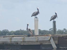
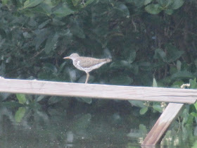
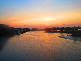
Some pics from docks along the break wall
I laid down for 20 minutes or so, had a leisurely breakfast, and was in the kayak at 9:45
Wanted to paddle to Seahorse Key, but a strong west wind prevent me.
I did paddle northwest, but only as far as the end of Astena Otie Key
Which I then paddled around
These downed/drowned trees are a usual cormorant hangout on the backside of Astena Otie
Where the seas were much calmer, in the lee of the island.
Never really knew what "lee" meant until I began kayaking around islands on windy days. I mean, I knew but it is another thing to experience being sheltered from the wind and what a difference it makes.
Landed at 12:05. Ate lunch, back on the water at 2:20.
Still breezy. I let it push me to the Number 2 Channel
High tide. Old Fenimore Mill channel side beach is just a sand spit.
Only picture I got in my Nature's Landing black crowned heron, rosette spoonbill spot. Saw one juve night heron
Just the prow of the wreck above waterline. Plenty of depth to go in search of spoonbills.
Found them. Despite their best effort to hide in the mangroves.
After awhile, the spoonies took flight I knew where to look for more.
Or maybe, the same flock.
Another roost
Another group
At high tide there is a side channel that links the channel I was in to the Number 2. I wanted to see dolphins, so went into the Gulf. No dolphins seen in the wind driven waves.
Wind gauge at the NOAA CMAN site. I swear they were spinning. Camera is better than I thought.
Ready to land. Saw a plastic bag against the break wall. And saw the view below
Nice way to end the afternoon paddle. Landed at 4:10
Spoonbill souvenir
Left over pizza enhanced with clams, red onions, and cheddar.
Off for a sunset bike ride
Pedaled back a little bit
A little bit more....
This is the spot
Goodnight
Biking back to Park Place

Stop, look both ways
Outer ramp
Back "home" 8:52"


No comments:
Post a Comment
Well, I tried to allow Anonymous postngs. As soon as I did, I had the same problem with the same person/spammer posting comments. One jerk spoils it for all. So,you'll need to register to post a comment.