
After Saturday's long paddle all the way up Rock Springs Run. And back. About 20 miles. I needed something easier today. So, I decided to see it I could find the Little Wekiva River. Which I failed to find in April. I would have an down stream paddle on the way. Turned out to be not so easy. I was on the water for 6 hours, thanks to passing the Little Wekiva and a couple other detours. But I did find it. That's the mouth of the Little Wekiva in the opening photo.


Nice start to the day. Unless your a deer, its hunting season, and someone can blast away from the pool enclosure while reading the Sunday paper.


To aid in my quest to locate the Little Wekiva River, I brought along the GPS I use in the car. Not the best one for the outdoors. It did not show the little run I paddled on earlier. It did show the run to the sulphur spring at Wekiva Falls. Speaking of which, there were a lot of the RV resort's green rental canoes on the Wekiva.


The GPS showed the island in the River. And a blue ribbon on the east. Had to be the Little Wekiva, but it did not extend, at least on my GPS, to the Wekiva.


When I saw the tram posts that lead to the Buffalo Tram campsite, I knew I went to far. I turned around.


From maps, I knew the Little Wekiva enters the Wekiva at an angle, both flowing north. I tried to visualize where they would meet. An area where the Wekiva curved seemed like a good spot. And was.


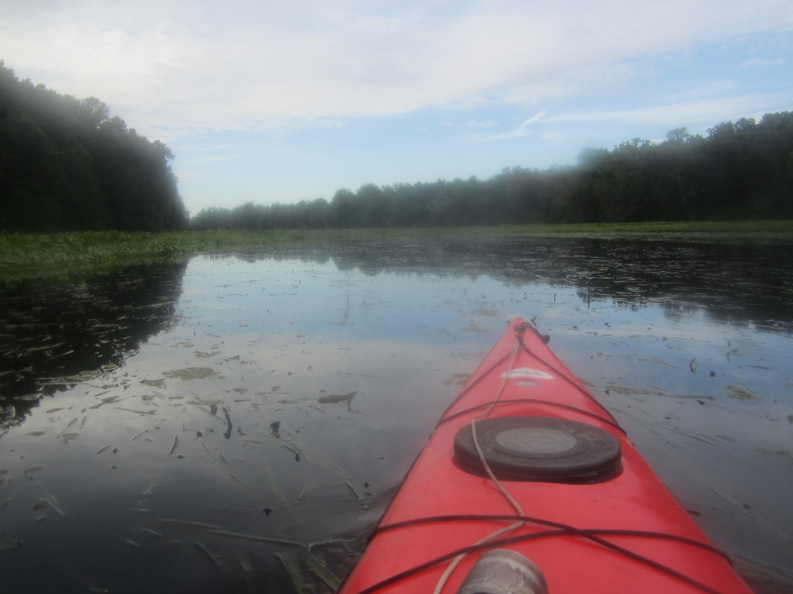
I paddled up the Little Wekiva for less than 30 minutes. Above is the view when I turned around.


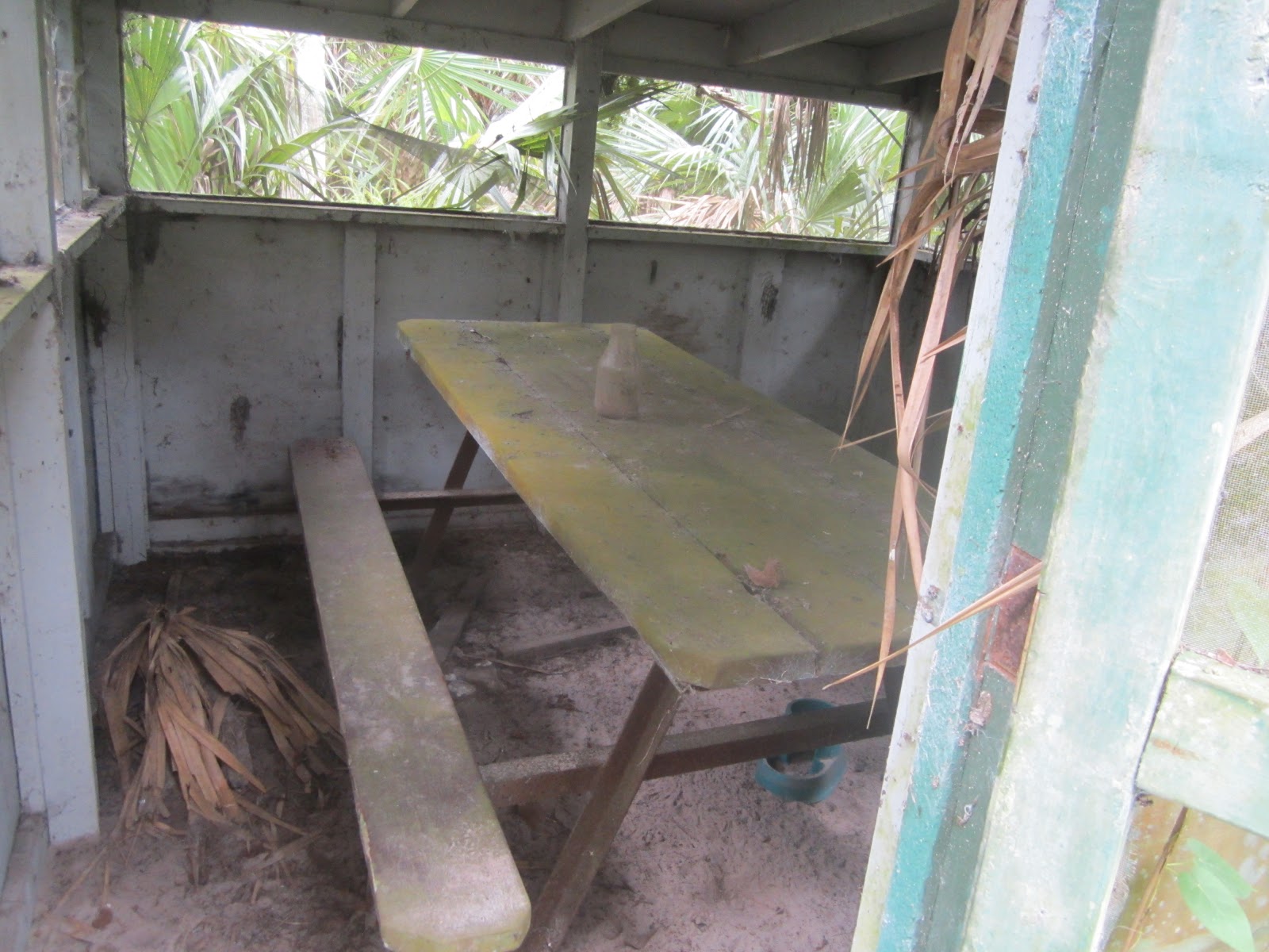
I saw a patch of grass, so I landed.


I wonder if this is one of the cabins mentioned in this article http://articles.orlandosentinel.com/1989-02-05/news/8902050143_1_wekiva-cabin-dwellers-state-officials
February 1989, 6 months before I moved to Orlando.


Back to the L'il W.


 Return to the Wekiva. I was impressed by the lack of trash on both the Little Wekiva and the Wekiva. I figured it is because fewer people paddle this area. True, but I was told a few moths ago the Friends of Wekiva and Keep Seminole Beautiful did a clean up. Thank you.


Belted kingfishers are coming back. They do not leave for long. First photo I've had in a while.


Wish I had a better photo of this downy green heron chick. Here is mom.


State Highway 46 Bridge in the distance.

Landed at 5 after 3. A "short" day evolved into a 6 hour trip. Nice to finally find the Little Wekiva. Now, I have paddled all of the Wekiva Rivers main tributaries. Blackwater Creek, Rock Springs Run and the Little Wekiva River.
Thursday night, I'll greet you from Sanibel Island.
No comments:
Post a Comment