I arrived at Anastasia State Park about 10 minutes before it opened at 10 am. First pic, faint roseate spoonbill flying overhead.
8:22, underway.
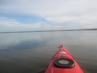
I was in Salt Run, a long narrow inlet. Atlantic Ocean just over the dunes. Dunes on both sides of the Run. .
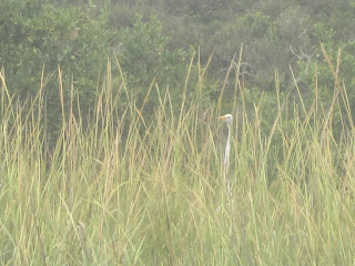
In the distance, ocean side, a bird. Odd looking heron, I thought
Wasn't expecting a wading bald eagle.
That's more like it.
Salt Run is being dredged The Park's website had a notice about the beach renorishment, but not the dredging. I wondered if they were related. They are. Sand removed from the bottom to aid navigation is being pumped to the beach. I had to wait to find a spot where I could cross back to the west side of Salt Run. Not just where the pipe line is, or was, tide was out, visible, but I tried a few times only to see the pipe just under the surface.
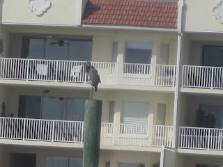
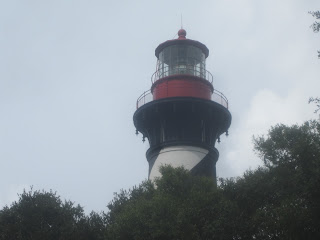
The above bird, whose name escapes me, is not on the pipeline but a plant encrusted barrel.St. Augustine Lighthouse.
I retraced my wake a bit when I got to Lighthouse Park.
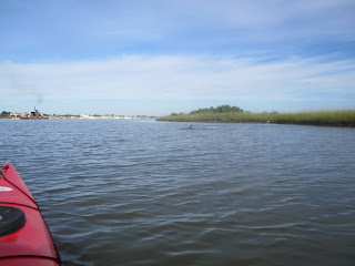
There were four, maybe five dolphins. I only got one photo before turning around. There will be more.
Looking to the Atlantic through the St. Augustine Inlet.
Castillo San Marcos
I am somewhat surprise there is not a slow speed zone at the fort. I suppose if the coquina structure withstood British cannon balls, it can withstand wakes. Of course, water created the Grand Canyon, over time.
Paddled up the Mantanzas River.
Bridge of Lions.
The ship is the Black Raven, a |"pirate cruise" ship. Not the Nina, Pinta, or
Oyster catchers
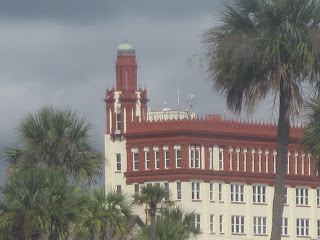
Florida National Guard HQ. I always wondered why modern howitzers are in front of the building. Interesting history. But, all St. Augustine has interesting history.
And dolphins.
No dolphin in the above shot, I just like the clouds.
Lighthouse from the other side. "Other" being the Matanzas River.
State Road 312 bridge. View when I turned around at 10:42.
All St. Augustine needs is 4 more lions and its Bridge will have as many as the bridge in Lake Park in Milwaukee.
You may have noticed the dark clouds over the City. Skies to the east were blue, I hoped the sea breeze would keep it that way. Rain did fall on me. Not to hard, but pictures on this part of the voyage are blurry, so you won't see them.
I landed at Lighthouse Park at 12:55. The above sign describes the dredging project in Salt Run.
I walked across the street to the Lighthouse grounds.
I did not pay $9 to enter the visitor center, tour more buildings and climb the tower. Something I did my last visit. I was looking for a picnic table. None in the portion of the grounds I was on, so I headed back across the street.
Ate my sandwich under the oaks.
Fishing pier
Saint Augustine Yacht Club
Back on Salt Run at 1:30.
Last dolphin of the day. It was very cool that the same small pod went from Salt Run, to Matanzas Bay, to the Mantanzas River, and back. And people think I paddle alone.
My launch site, near the rental concession, is a quarter mile or so from the end of Salt Run. I usually like to paddle entire small waterways, but dark clouds were coming in,so I landed.
Landed at 2:10, just as rain began to fall. It came down, so I left the yak next to the car, upside down, of course, and went to the nearby picnic shelter to wait it out. And waited as it really poured,lots of thunder and lighting. After 30 minutes or so, I said, bleep it, I'm dressed to get wet, so I left the shelter, put on my $4.50 poncho, and loaded the yak. Drove to the concession at the beach access. Food service closed. "Due to weather" Why? They had a captive audience. The shelter has outlets, so I charged a battery as I waited for the rain to stop.
View from the shelter.
The rain stopped, out to the construction site, I mean, beach, at 3:40. There is a break in the dunes, a flat walk at the concession.
I could be wrong, but I think this is the water that helps the sand dredged from the bottom of Salt Run flow through the pipe line. The sand is piled up, bulldozers spread it on the beach.
The water then goes into the Ocean.
There are two beach accesses, the one near the concession, and this, a long scenic stroll over coastal marsh and dunes. The boardwalk in the pic above does not go to the beach, but ends atop the dune.
Pipeline from Salt Run coming over the dunes.
Sand slurry from the bottom of Salt Run
Crossing the Bridge of Lions, 4:30.
I found a Travelodge a mile or two from the Old City.
$73 with tax
I was given a room with a full kitchen
But no dishes, pots, pans, or table ware.
I wasn't planning on eating in anyway. I drove back into town. And drove around looking for a parking spot. Could have paid $10 in a garage, but that's too rich for me. Found a free, 30 minute spot, and went to take pictures
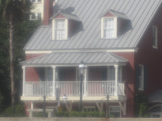
The Warden Winter Home now houses the Ripley Odditurium.
Believe it or not.
City Gate
Woodstorks
Cannon family
Back to the car. Went to find parking. Free parking is a long walk away from the Old City and water front. I parked, walked a few blocks, not to my 30 minute spot, and headed back. Thought I'd try the A1A Alehouse. Could not find a spot. I gave up, headed back to the hotel. Went a few blocks past it and saw Schooner's Seafood House. Went inside.
Minorcan chowder. A local delicacy. With History Mine was not too spicy. I perked it up with a few drops of datil pepper sauce from the bottle on my table.
Tasty slaw
Mahi, onion rings, rice and gravy. I never had white rice with brown gravy before. Southern comfort food.
And so ends this Tale. A long one. Befitting the 477 years of European settlement in Saint Augustine.




















2 comments:
Dave, you have no idea how much I appreciate your blog during this time that I'm not able to get out and paddle. And it has been quite a while since I've ventured very far from home because I just couldn't do so comfortably--now I have reservations for Sanibel (January) and Cedar Key (March) and planning some other trips for Nov and Dec.
Thank you, thank you, thank you for your blog!
Ditto to the above. Especially since this format sucks raspberries. Thanks for the effort!
Post a Comment